Clerkenwell loft interior by www.richarddewhurst.com
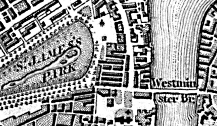
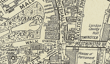
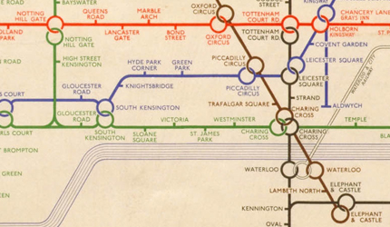
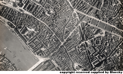
Our most popular theme by far is our collection of vintage maps - from Cassini's 19th century UK, Ireland and Europe wide data to A-Z's very first London street map c1938 with bus, trolleybus and tram routes. New for 2012, we have a series of Bluesky historical aerial photography of the UK dating from 1917 to 1990 and Transport for London's Underground maps from the 1930's and 1940's.
We can print mapping across all of the Printed Space product range, to fit any size area. You can select your own historical map region for a truly tailor made wallpaper or floor, alternatively, choose from our set artwork sizes available as "Buy Now" options for wall murals, canvas prints and acrylic wall art.
Email us the region you are looking to have printed (this can be postcode, town or city based) with the product and size you require and we will email you back a proof of the mapping styles available for that area along with a quotation.
We are offering huge discounts* across our vintage map products throughout May and June - take us up on the offer quick ...........before its history!
Click on the styles below to see more details.

Historical detailed street mapping by Cassini

Phyllis Pearsall's first hand drawn London A-Z street map

Transport for London Underground map

Vintage Aerial photography from BlueSky......coming soon